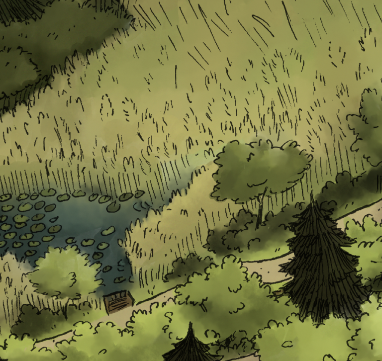
Mapping the Reserve – Illustrated Map
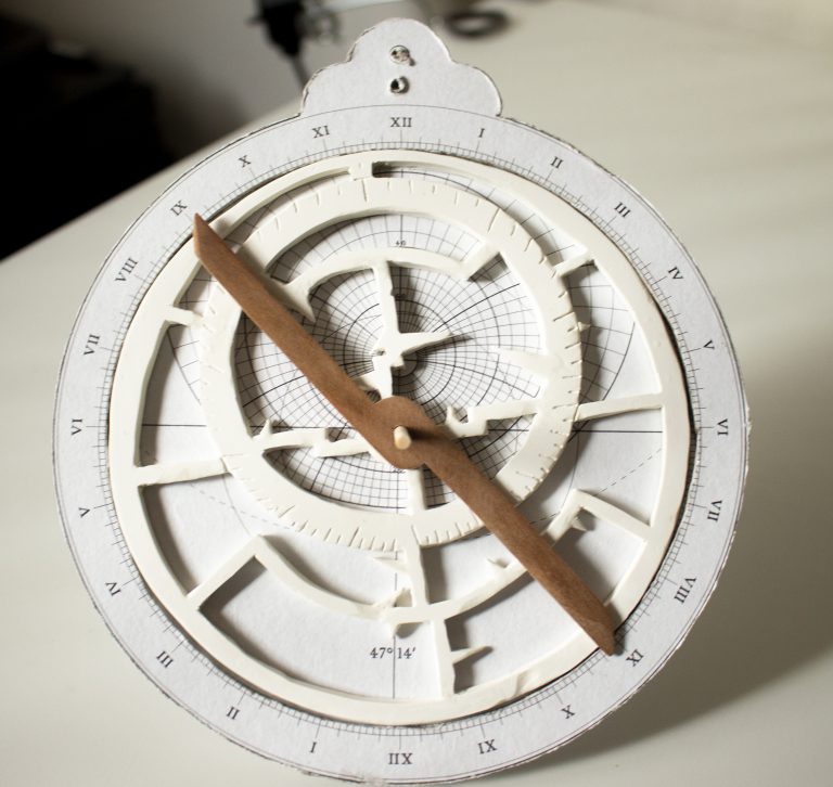
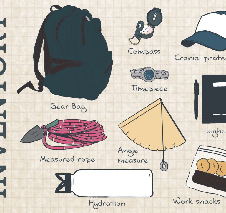
After surveying this location over the summer, using 15th century technology, I was finally able to take the data and make the final illustrated map! For those cartographers in the crowd, I was basing my restrictions on world maps of the time, which would have little to no capacity for pinpointing the coordinates for non-land-based …