My next two tools have to do with measurement! When you do official land measurement, it’s important to use pre-measured chains or ropes that you can lay down evenly. For informal mapping though, it’s easy enough to either use a pre-measured length of rope OR… The power of feet! I actually measured my gait by walking a distance and averaging the length of every two steps. That way I can just walk, counting steps, and that gives me a decent enough distance.
Our other measuring option is through the power of angles!
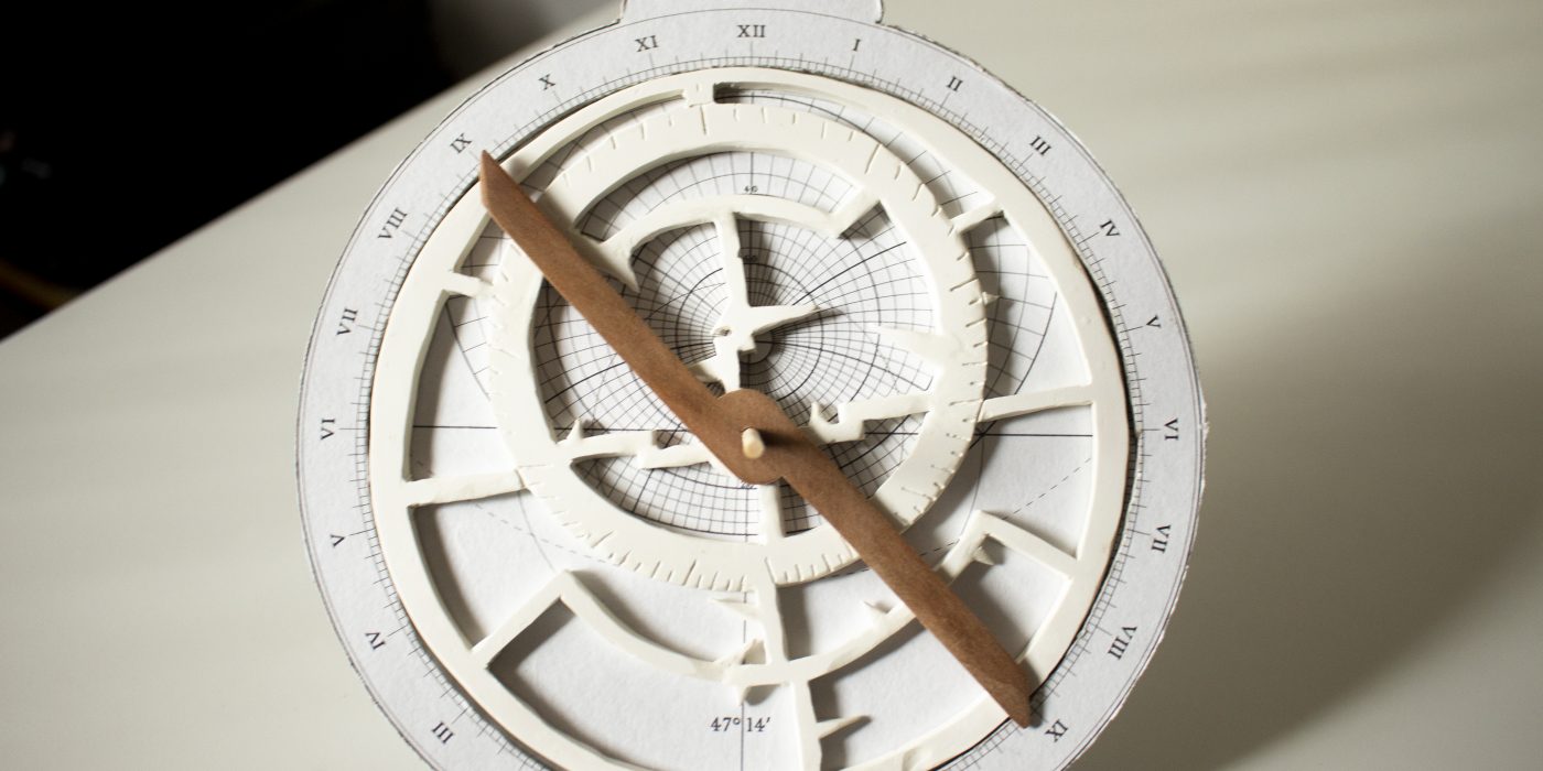
Originally an Islamic scientific device, astrolabes have bee used for all sorts of applications. Mostly, their job is to measure the height of an object above the horizon, typically a celestial body. These measurements could be used to identify stars, tell what day it was or, most importantly for us, to determine local latitude. Longitude, unfortunately, is another ball of wax. You can use an astrolabe to determine time, but it’s not the most accurate measurement ever, so getting an accurate longitude (therefore pinning down an exact location, especially while at sea) was not really possible in the 15th C.
I’m still a newbie at using an astrolabe, but here are some awesome resources to get us started:
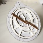
You can see that there are many interchangeable plates used in an astrolabe. Mine does not currently have a star plate, but it is still totally useable. What it does have, on the back, is the box-shaped Shadow Square, used to measure the linear height of an object. This would be useful, if I wanted to notate how tall a hill or other feature in my landscape is. More on how to make those calculations here: Using a Shadow Square
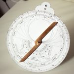
If you’d like to make your own, you certainly can get fancy and laser cut, or even use stacked paper like me. Or you can use a protractor and a straw. Yes, it really is that easy! Now, will you be able to tell the date and find other stars? Maybe not, but you can certainly take a sun sight and figure out your current latitude! Which is one of the reasons why people slowly shifted into the quadrant, then the sextant. All the extra frills of the astrolabe weren’t routinely necessary, or were replaced by other resources.
I think we’ve just about covered all the tools! Next up, I actually head over to the site and start taking some measurements.